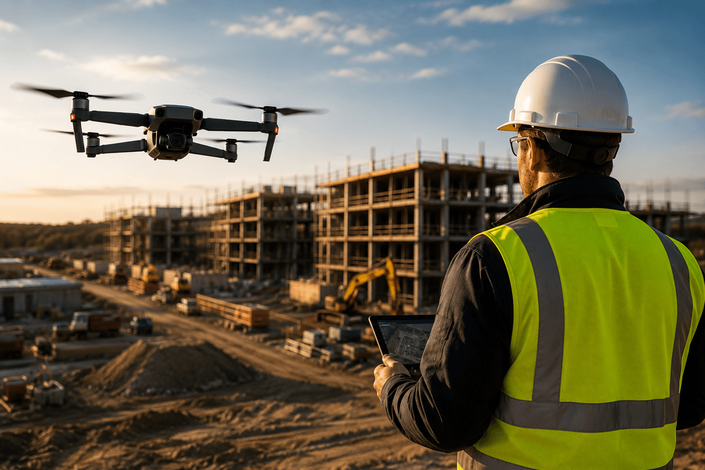
Drone mapping for construction is the practice of flying a site on a controlled pattern, processing the photographs into spatial products, and using those products to track how the job changes. The usual outputs are an orthomosaic, a 3D model, and sometimes a point cloud. The value is not the flight. It is a dated, comparable view of the actual site.
A single aerial photo can show that work is happening. A mapping product can show where, at what scale, and, if you fly the same way again, what changed.
What drone mapping means on a construction site
In a construction context, drone mapping is a documentation and coordination tool. A licensed remote pilot (or a contracted operator) captures overlapping images. Photogrammetry software then estimates camera positions, reconstructs the surface, and writes georeferenced files.
That is different from a quick inspection flight that produces a few obliques for a meeting. Inspection photos are useful. They are not a map.
Typical mapping products on a jobsite:
- An orthomosaic: a stitched, corrected overhead map of the site
- A digital surface model: elevations of whatever the camera could see (ground, stockpiles, trailers, structures)
- A 3D mesh: a textured model of the current envelope or terrain
- A point cloud: 3D coordinates derived from the same photos
Those files support construction progress documentation when they are dated, labeled, and stored with the rest of the visit. They do not replace a superintendent’s walk, a schedule, or a licensed survey when the contract or the law requires one. Drone mapping deliverables explained covers GeoTIFF, LAS, LAZ, elevation models, and meshes in more detail.
Orthomosaics vs. ordinary aerial photos
An ordinary aerial photo is a picture taken from the air. Perspective, lens distortion, and terrain relief remain in the image. You can see the crane. You should not scale quantities off the JPEG.
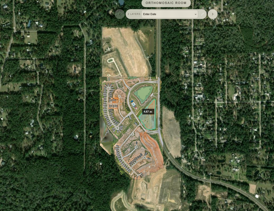
An orthomosaic (often shortened to “ortho”) is built from many overlapping frames. The software removes most tilt and relief displacement, then places the mosaic in a real-world coordinate system. Distances and areas can be measured within the accuracy of that project. It looks like a photograph. It behaves like a map.
If you need the geometry in more detail, read what an orthomosaic is. The construction-specific point is simpler: a progress ortho is only useful if the next one can be compared to it. A beautiful one-off aerial is marketing. A repeating ortho is tracking.
| Product | What it is good for | What it is not |
|---|---|---|
| Handheld or drone still | Detail, interiors, quick proof | Site-wide measurement |
| Oblique aerial | Stakeholder orientation | A true-to-scale map |
| Consumer basemap | Regional context | Your site, this week |
| Orthomosaic | Layout, earthwork, logistics, dated comparison | Automatic survey-grade accuracy |
Owners sometimes treat all four as “the drone map.” If the file is supposed to support overlays, quantities, or as-built context, only the ortho is doing that job, and only as well as the control and processing behind it.
3D models, photogrammetry, and point clouds
Photogrammetry reconstructs 3D structure from overlapping photographs. On a construction site that usually means a textured mesh of the current ground and buildings, plus a dense point cloud if you export one.
A 3D model in this workflow is typically a mesh: faces and textures that are easy to orbit in a viewer. It helps people who will never open a LAS file understand massing, pad elevations relative to structures, and how the site “feels” from a viewpoint a 2D ortho cannot show.
A point cloud is the denser sample of surfaces. It is often the better file for measurements, sections, and further CAD or BIM work. It is also harder to hand off. Many 3D model conversations on construction jobs actually need both: the mesh for communication, the cloud for analysis.
Neither product is a BIM model. Photogrammetry records what the cameras saw on that day. It does not know design intent, and it will include trailers, spoils, and people if they were in the scene.
Progress comparison, site context, and remote review
The main construction use of drone mapping is progress comparison. Fly a comparable mission, process it the same way, and you can set this week’s ortho beside last month’s. Cut/fill patterns, pad growth, utility trenches, and laydown creep become visible without walking every acre.
That only works if the missions are actually comparable. Different altitude, different overlap, a new processing template, or a different coordinate system will make the “change” look larger than the work. Coordinate systems in drone mapping covers CRS, datums, and elevation references for repeat captures.
Site context is the second job. A current ortho tells a remote PM where the crane is, whether the south gate is blocked, and how the stockpile relates to the haul road. A 3D model helps when the question is vertical: wall plates, excavation faces, roof progress, or a temporary structure that is hard to read in plan.
Remote review is why the delivery format matters. A 2 GB GeoTIFF and a desktop mesh are internal assets until someone who is not the operator can open them. A Cloud Optimized GeoTIFF can help a browser viewer request only the portion of a large ortho that is needed, but it still does not replace keeping the native raster. Keep the native files. Present them in a browser-ready project so owners and consultants are not installing GIS software to answer “what does the site look like this week?”
Measurements and accuracy limitations
Orthos and models are measurable. They are not automatically accurate enough for every decision.
Accuracy depends on:
- Ground sample distance (GSD): roughly, how much ground each pixel covers
- Image quality (motion blur, exposure, rolling shutter)
- Overlap and flight geometry
- Georeferencing method (onboard GNSS/RTK, ground control, or none)
- How well the surface model represents the actual ground
- Processing settings and any manual cleanup
A map can look sharp and still be shifted, warped, or scaled incorrectly. Vegetation, steep faces, and active construction equipment make this worse. If you measure a stockpile volume from a photogrammetric cloud, treat the number as an estimate unless the capture was designed and checked for that purpose.
Say what you know. A note such as “relative comparison to last flight; not a certified as-built” is more useful than a silent export. If a quantity or boundary will affect payment, involve the survey workflow the contract already named.
Capture consistency
Construction drone mapping is a repeating measurement. The flight should be treated like an instrument setup, not a new creative shoot each visit.
Overlap, altitude, and repeatable paths
Overlap is how much each frame shares with its neighbors. Mapping missions typically use high forward and side overlap so the software can match features. Lower overlap may still produce a picture. It produces a weaker model.
Altitude (or, more precisely, the planned GSD) should stay in a band you can repeat. Flying much lower “for more detail” on one visit and much higher “to save batteries” on the next makes comparison noisy. Corridor or grid plans that can be saved and reflown are worth more than an operator’s memory of last Tuesday.
Time of day matters on textured surfaces: long shadows and specular roofs confuse matching. You will not get studio lighting on a jobsite. You can avoid the worst solar angles when the schedule allows.
GCP and RTK, at a high level
Ground control points (GCPs) are surveyed marks visible in the imagery. They tie the reconstruction to a known coordinate system. RTK (real-time kinematic) GNSS on the aircraft improves camera positions during the flight and can reduce, not magically eliminate, the need for dense ground control.
At a high level:
- No control and consumer GNSS: useful pictures, weak coordinates
- RTK without checks: better, still verify against independent points
- GCPs (and checkpoints you do not use in processing): the honest way to know how well the map sits
Construction sites eat targets. If you use GCPs, put them where they will survive a week of trucks, or replace them and resurvey. Do not pretend a target under a spoil pile is still a control point.
This is not a survey manual. It is the minimum you should understand before you treat a drone map as a measuring surface. Drone photogrammetry accuracy explained covers GSD, overlap, RTK, ground control, and checkpoints in more detail. GCPs vs checkpoints in drone mapping is the dedicated comparison of control versus independent verification.
Common construction use cases
Earthwork and site development. Repeat orthos and surface models show cut/fill progress, pad extents, and haul patterns. Volumes from photogrammetry can support internal planning. Payment-grade quantities belong to the method specified in the contract.
Logistics and site utilization. A current map answers where trailers, laydown, and access actually are, which is often not where the logistics plan said they would be.
Progress records. Dated mapping products sit beside station photos and reports as part of the job history. They are especially useful when work is spread across a large, rapidly changing site.
Inspections and condition reviews. Roofing, envelope, and civil inspections often start with a mapping flight, then add obliques and ground photos for defects. The ortho is context. The close-up is the finding.
Owner and lender updates. A current ortho and a simple 3D view communicate more than a percent-complete slide. Keep the narrative honest about what the files can and cannot support.
Pre- and post-condition documentation. Capture the site before you occupy it and after you leave an area. Drainage, adjacent parcels, pavement, and existing structures are common sources of later disagreement. A controlled mapping product plus ground photos is stronger than either alone.
For the broader capture-and-handoff picture, see drone mapping and how to share mapping deliverables with a client.
Limitations: maps are not automatically survey-grade
Drone photogrammetry can be highly precise when it is designed, controlled, and checked. It can also be a well-textured guess. A construction drone map is not automatically survey-grade. It should not replace licensed survey work where a boundary, easement, as-built certification, or legal description is required.
Other limits worth stating in the file, not only in conversation:
- Cameras cannot see through scaffolding, water, or dense canopy
- Moving equipment creates artifacts and false surfaces
- Vertical faces and thin objects are harder than open pads
- Indoor and covered work need a different reality capture method
- Processing choices change the result; two operators can produce two maps from the same photos
Use drone mapping for what it does well: current site context, comparable progress views, and communication with people who cannot walk the job that day. Keep survey, layout, and certified quantities in the hands of the people licensed and contracted to produce them.
When the maps, models, photos, and reports are ready, they still need to travel as one visit. SpearAtlas for construction teams is one way to keep those files in a single shareable workspace; drone operators and surveying and mapping teams use the same pattern after processing. The mapping work is finished in your flight app and photogrammetry software. Delivery is the step that makes the tracking useful to everyone else.