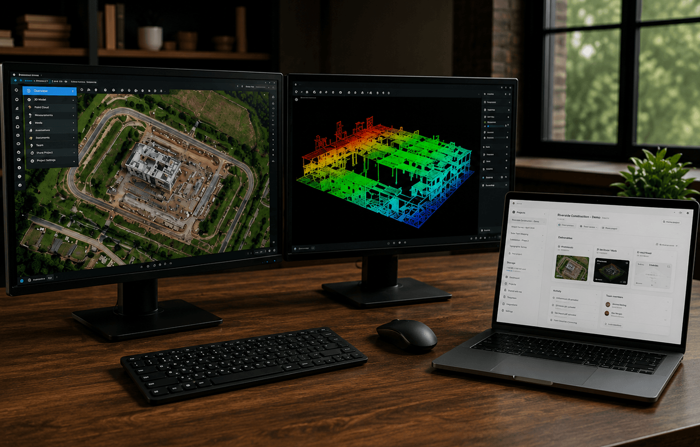
How to share mapping deliverables with a client
A practical workflow for handing off orthomosaics, point clouds, 3D models, and supporting files without scattering the job across drives and inboxes.
3 min read
Read articleResources
Workflows, deliverables, spatial file formats, and client handoff, written for people who capture real sites and need the work to arrive intact.
Featured
A practical workflow for handing off orthomosaics, point clouds, 3D models, and supporting files without scattering the job across drives and inboxes.
3 min read
Read articleWhere 3D Gaussian splatting fits in a professional capture workflow: what it is good at, where it is not a survey product, and how to deliver splats to clients.
3 min read
Read articleA plain-language guide to point clouds: how they are captured, what LAS and LAZ files contain, and why they are difficult to share as ordinary downloads.
3 min read
Read articleA practical workflow for reviewing an exported LAS or LAZ point cloud before client delivery, including orientation, attributes, coordinates, a distance check, and keeping the original file.
9 min read
Read articleCompare point clouds, 3D meshes, and Gaussian splats for drone mapping and reality capture, including measurement, visualization, file formats, accuracy, client delivery, and when to use each.
15 min read
Read articleLearn the difference between ground control points and checkpoints in drone mapping, including how they affect photogrammetry accuracy, RTK workflows, control distribution, residuals, and independent verification.
18 min read
Read articleLearn how coordinate systems work in drone mapping, including CRS, datums, projections, EPSG codes, State Plane, UTM, latitude and longitude, vertical datums, and why mapping files sometimes fail to align.
18 min read
Read articleLearn the difference between GeoTIFF and Cloud Optimized GeoTIFF files, including georeferencing, tiling, overviews, HTTP range requests, browser viewing, cloud storage, and drone mapping workflows.
14 min read
Read articleLearn the difference between LAS and LAZ point cloud files, including compression, file size, metadata, classification, compatibility, and when each format is useful in drone mapping, LiDAR, and reality capture workflows.
16 min read
Read articleA practical guide to the files produced by drone mapping and photogrammetry, including orthomosaics, GeoTIFFs, point clouds, LAS and LAZ files, elevation models, 3D meshes, reports, and supporting project data.
11 min read
Read articleLearn what actually controls drone photogrammetry accuracy, including ground sample distance, image overlap, RTK positioning, ground control points, checkpoints, flight geometry, camera quality, and processing.
12 min read
Read articleLearn the difference between DSM, DTM, and DEM elevation models in drone mapping and photogrammetry, including how each is created, what it represents, and when each product should be used.
14 min read
Read articleWhat construction progress documentation is, the records teams actually keep, and how to set up a repeatable jobsite documentation workflow that people can still use months later.
9 min read
Read articleHow construction drone mapping produces orthomosaics and 3D models for progress tracking, remote review, and site context, and where those products stop short of survey-grade work.
9 min read
Read articleOrthomosaics explained: how drone imagery becomes a georeferenced map, how they differ from photos and Google imagery, and how to deliver them to clients.
3 min read
Read articleNext step
When capture and processing are done, SpearAtlas is the workspace for organizing, viewing, and sharing mapping project files with the people who need them.